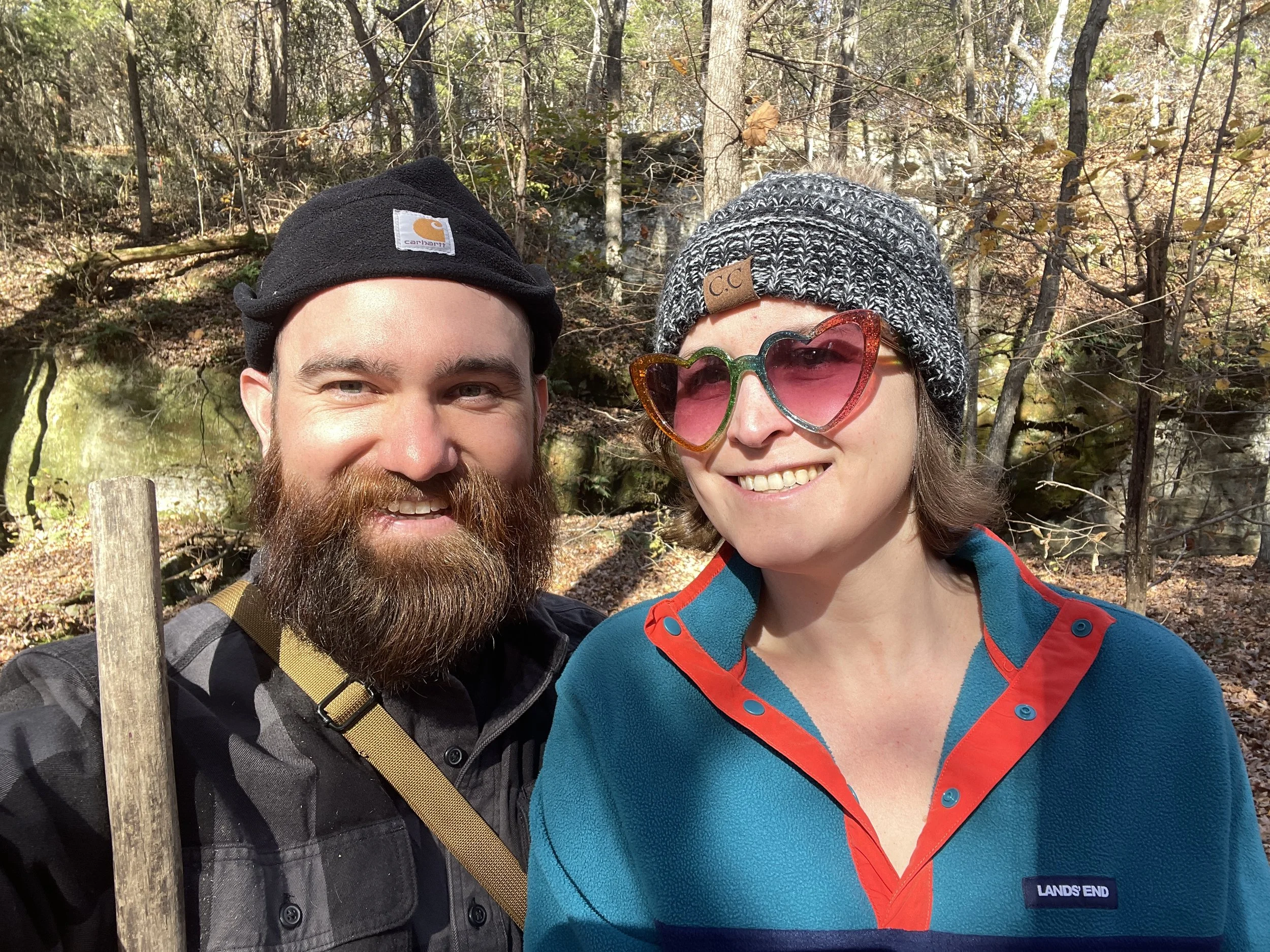
The green and shaggy tick ridden woods of summer are no place for a lady! That’s why Sydney and I wait until fall to resume our weekly wanderings around Western Kentucky—preferably after the first freeze kills off the bugs. We began this adventure without a thought in the brain—just free wheeling, and ended up at Mantle Rock near Smithland, Ky. Mantle Rock Nature Conservancy is a Trail of Tears National Historic Trail amid the hills of Livingston County. The trail is a 2.75mi loop featuring some impressive rock formations— the most impressive I’ve seen in this part of the state.
Considering how far out of the way from anything else the place is, I was surprised to find the small parking area jam packed on arrival. Sydney warned me this was a popular area, but I didn’t believe it. (Listen to your woman. She’s probably right). We began our hike on the left fork of the trail which is the shortest route to the rock formations. According to the sign in the parking area, this section (blue trail) was the more challenging part of the trail described as “moderately difficult”. No telling what that means… I figured we’d better get the hard part out of the way first.
After a short trek of no more than a 1/4 mile, the rocks appeared suddenly like a massive stone fortress hidden among the trees. Before reaching the main feature, we stopped to check out a section of rock houses and faces just a short distance off trail. Continuing on, we arrived at the main event—a massive sandstone arch. I have to admit I’ve never seen anything quite like this in Western Kentucky, or even central Kentucky (cave country) for that matter. Amazingly, one lone tree had managed to grow to full height in the space between the arch and the main rock face.
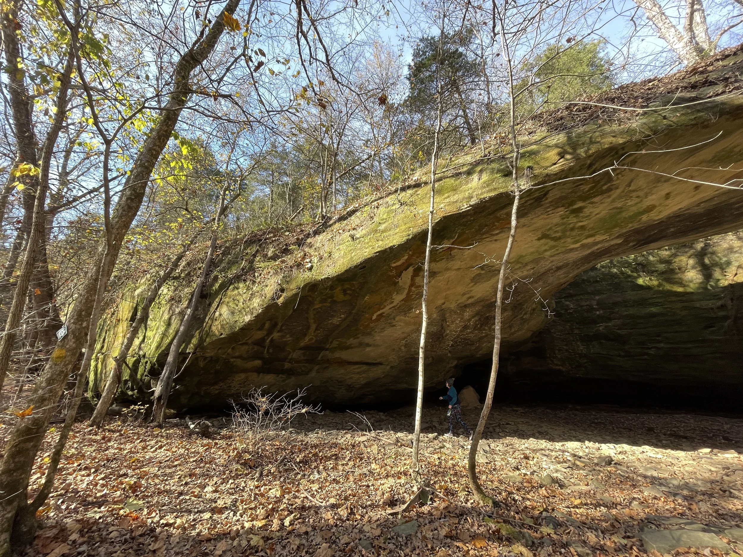
The Arch
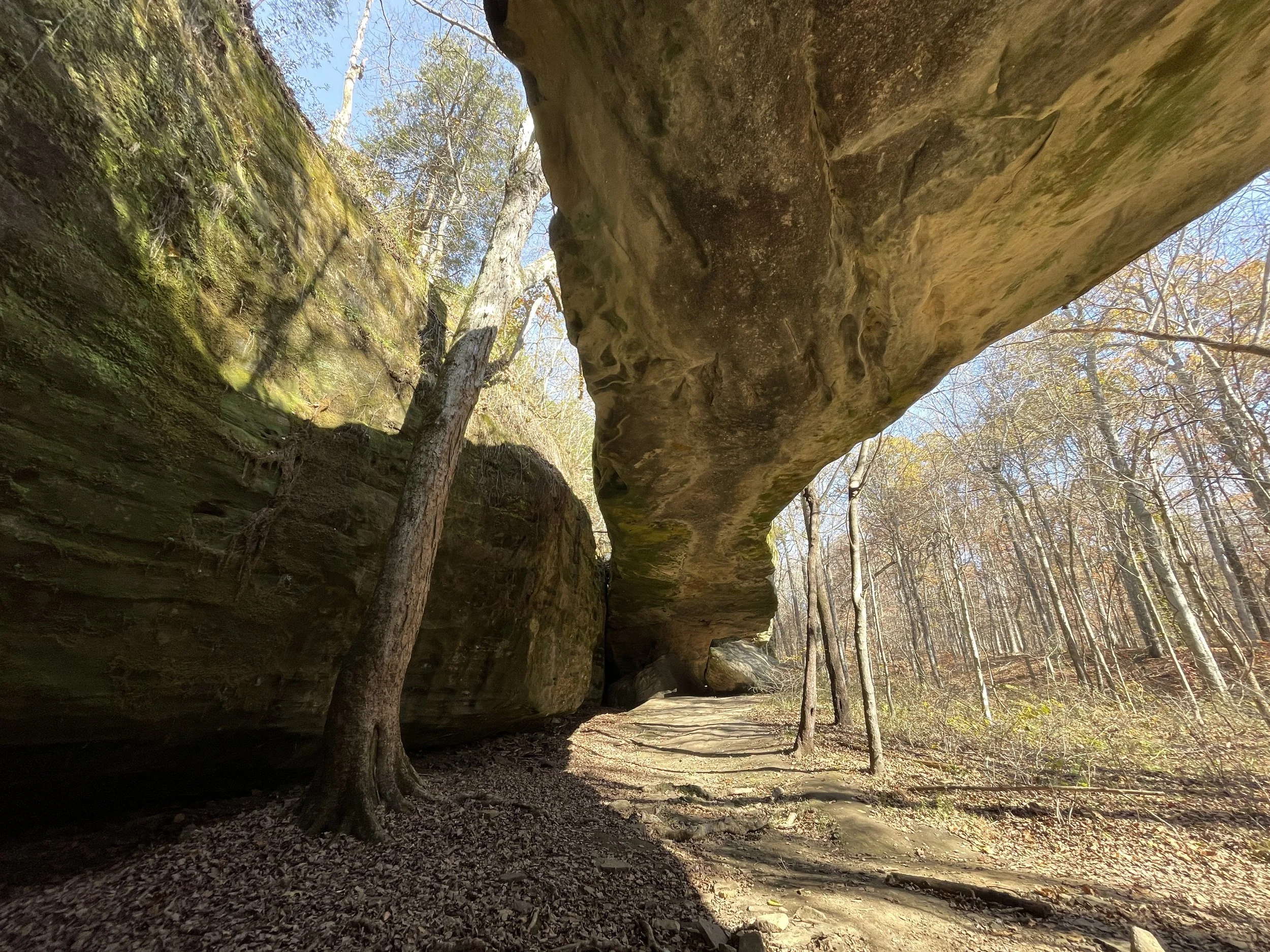
Beneath the Arch
When we were done marveling at the arch, our hike began in earnest. I was a little surprised when the trail started to curve up into the rocks. The section from the parking area to the rock formation was pretty tourist/old folks friendly, but after that it became a bit of a scramble. This was when the real adventure began. The trail wound around giant boulders and lead us directly over loose rock. We had to use our hands for stability in some places, and because this was November, we were sliding all over the place on dead leaves covering the trail.
I was really glad I brought my walking stick, and Sydney was lamenting her choice of footwear. Instead of “moderately difficult”, this section of trail should be rated as SCRAMBLE! It wasn’t terrible, just more than we anticipated. I’ve done a lot of hiking in our part of Kentucky, and Sydney’s done a good bit. So we are not inexperienced. Despite the rough going, this section beyond Mantle Rock was every bit as beautiful as the arch. There was plenty of exposed rock on both sides of the draw and a rocky creek bed ran alongside the trail. To me this was the most memorable part of our hike.
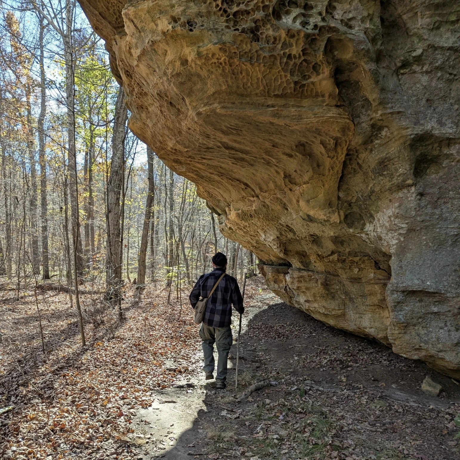
Scramble ahead…
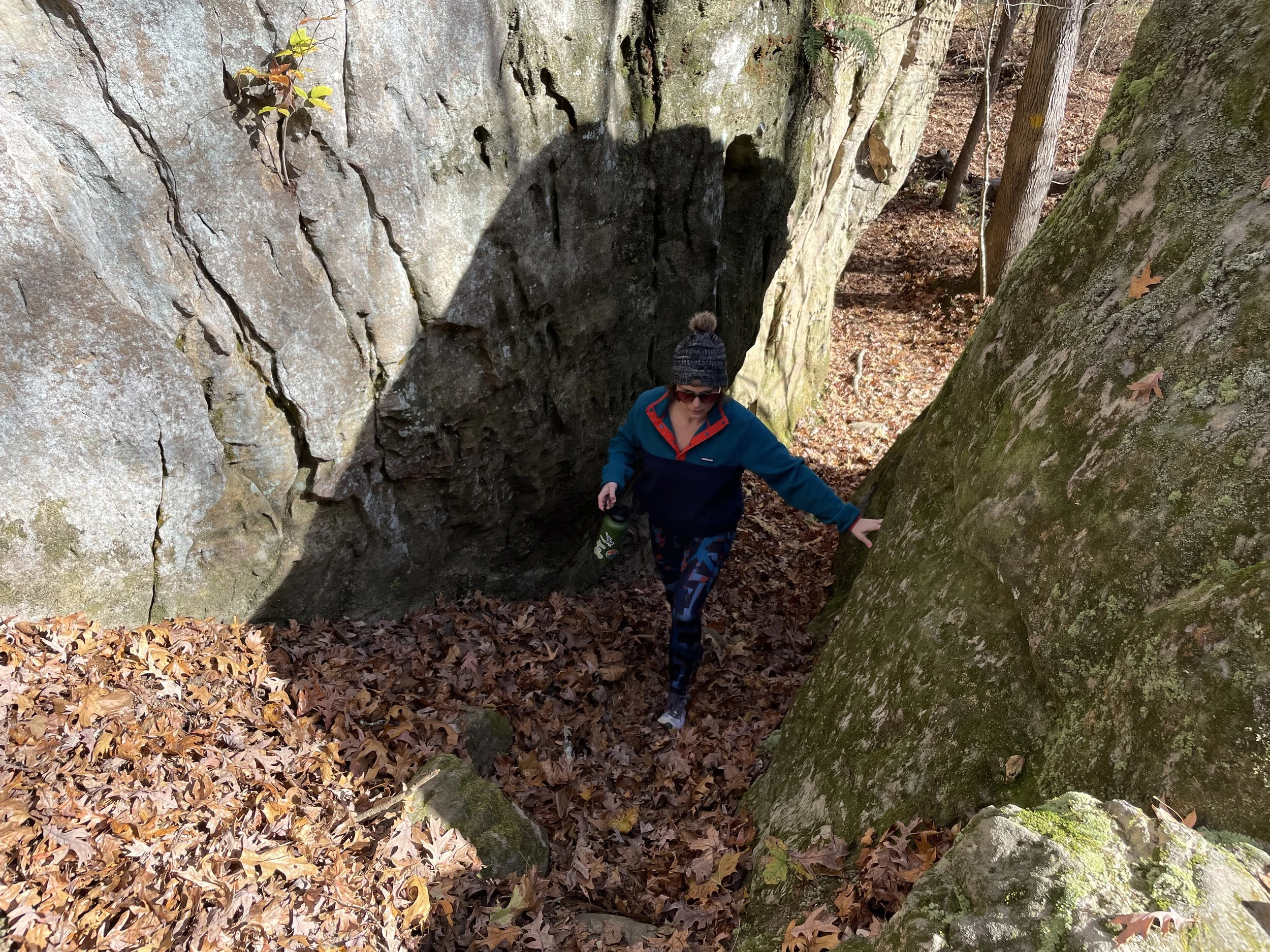
The scramble begins!
After a mile or so, the trail smoothed out and began to lead up the ridge to what I figured must be the back side of Mantle Rock. At this point we passed a scout group of about a dozen young kids and parents. They were all wearing blaze orange vests to stay visible during gun season in Livingston County—the deer hunting capital of Kentucky. That’s probably not a bad idea. As the scouts kindly gave way to let us pass, I warned them of the perils of the scramble ahead. “Your getting to the fun part!”, I said.
Finally, we reached the end of the blue trail which meant we had completed over half the loop. Now, the red trail lay ahead which is a section of the original Cherokee route on the Trail of Tears. The original route was much easier than the blue trail scramble. The ground was fairly even and the terrain was more level.
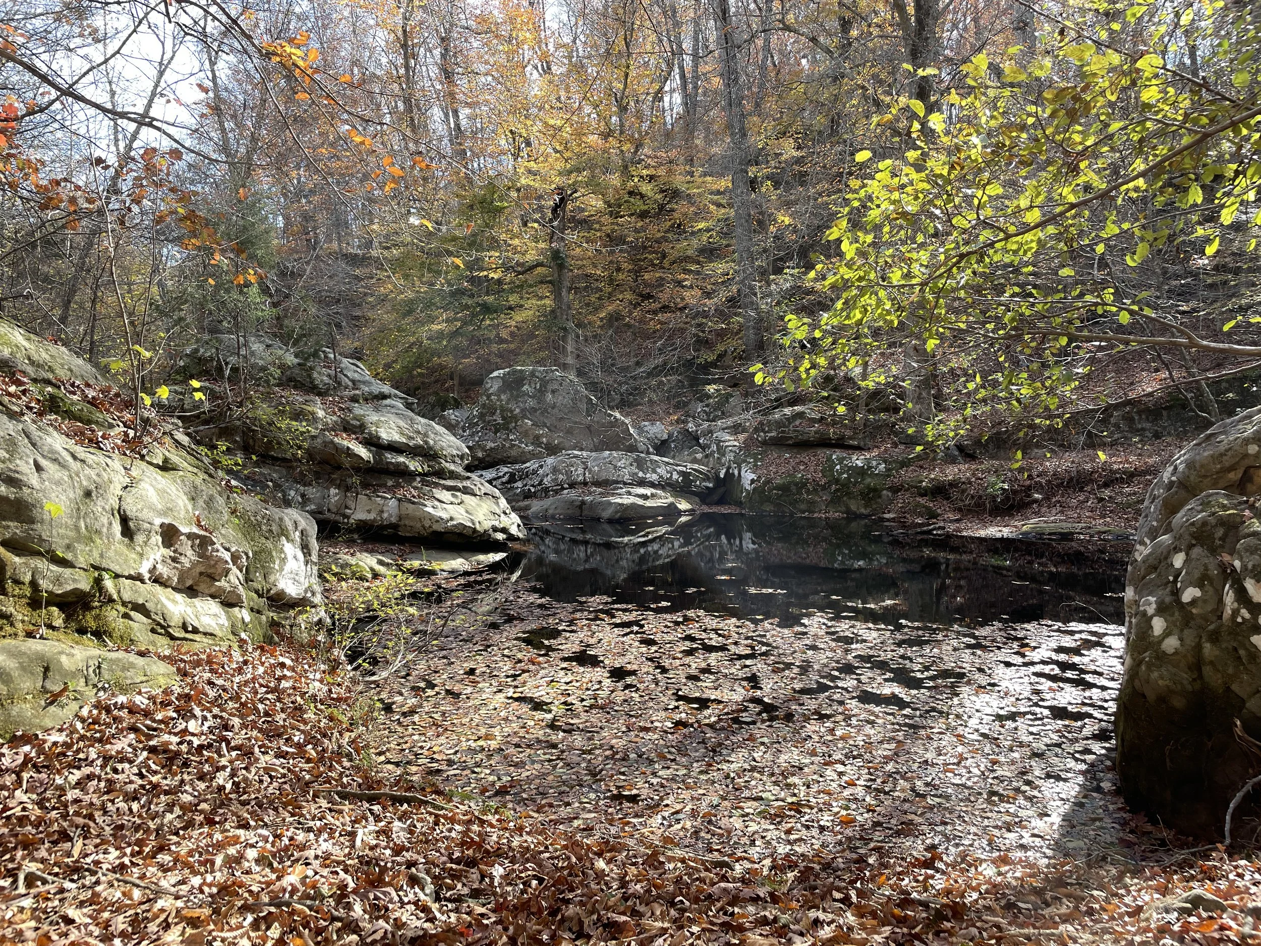
McGilligan Creek
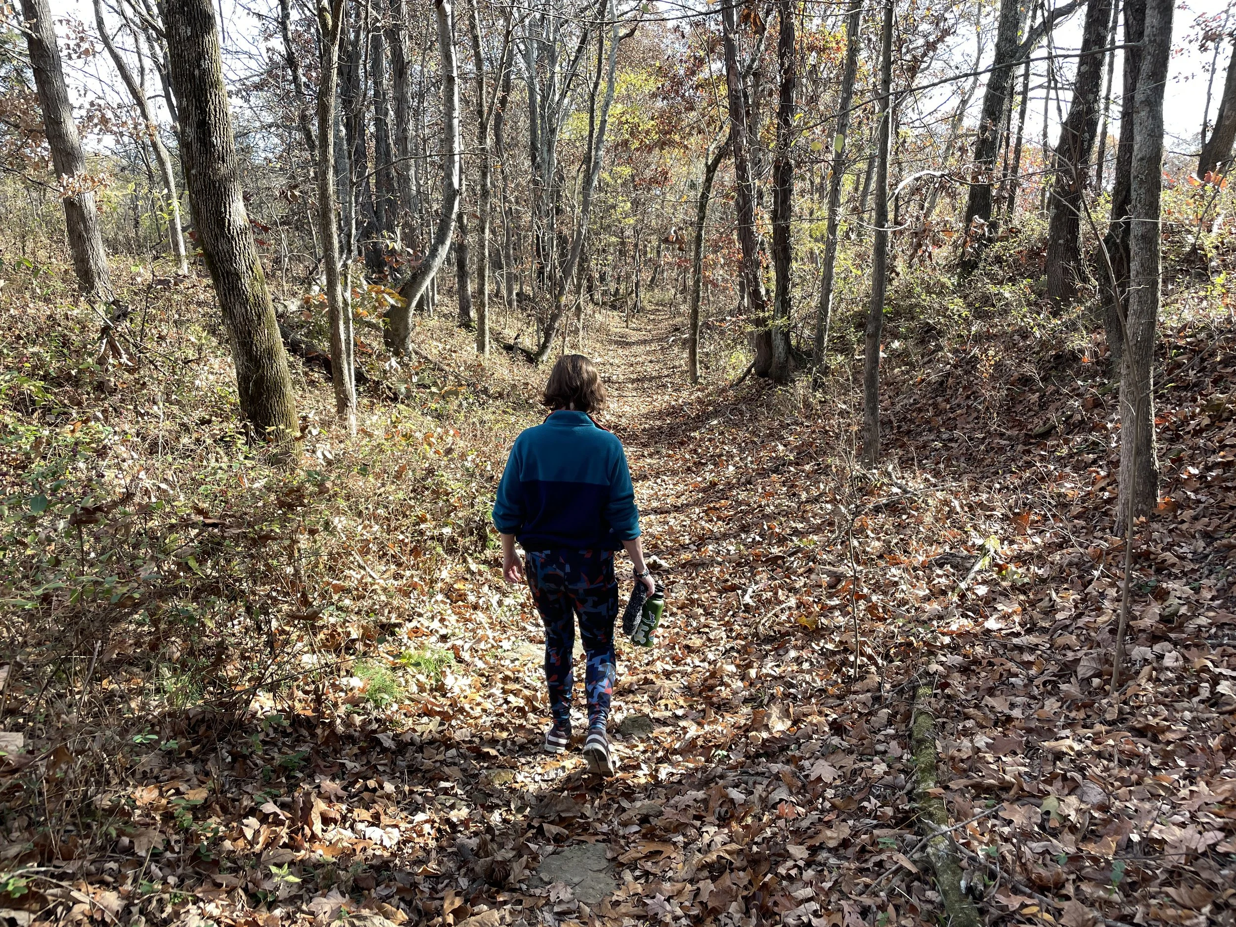
Original Cherokee Route
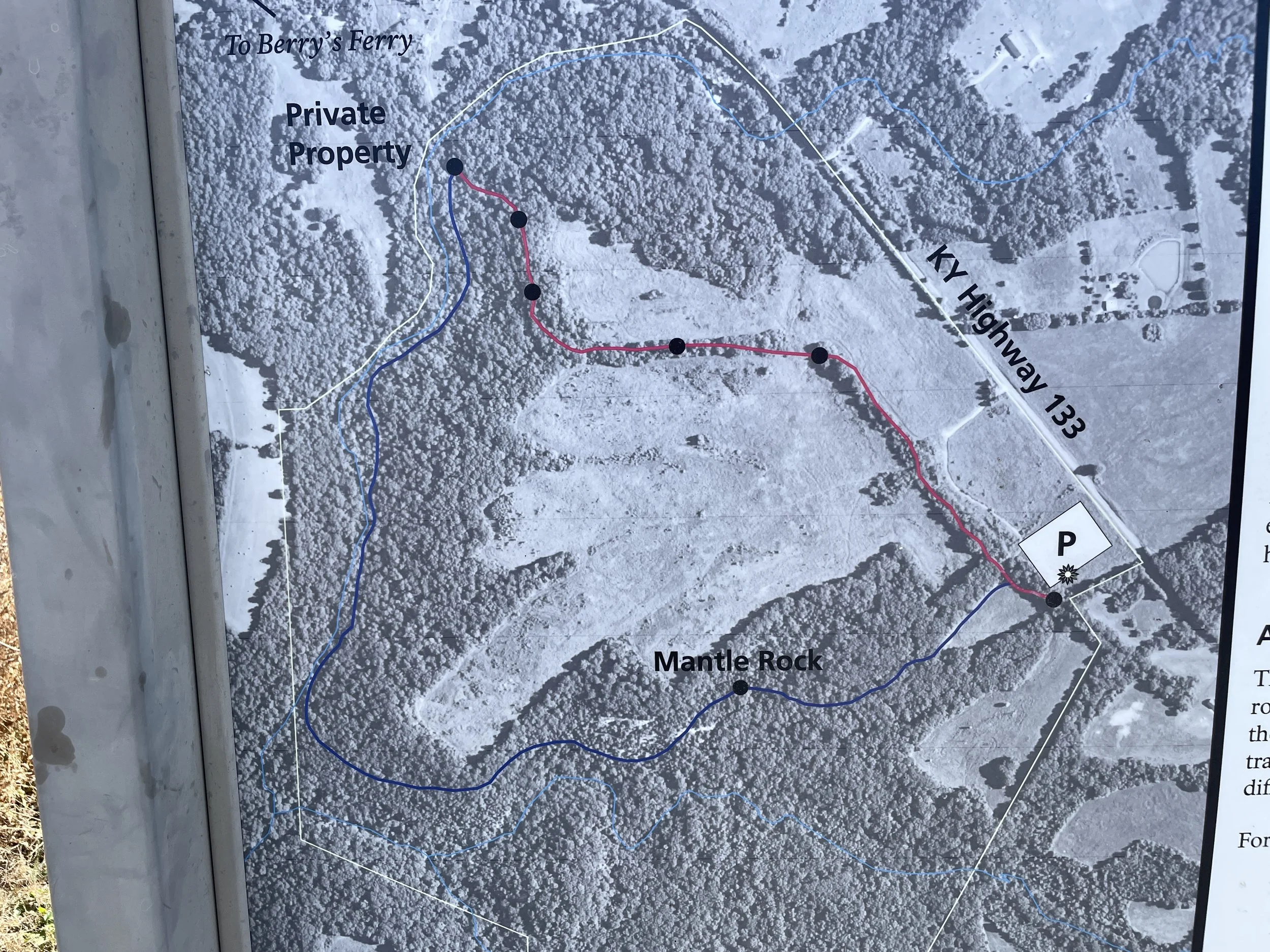
Location Notes:
If you just want to see the Mantle Rock arch, it’s an easy 1/4mi hike or so down the left fork of the trail. To make the full 2.75mi loop, I think the clockwise route is the best way to go. That way, you get the scramble over with first. (I say “get it over with” but the scramble is actually the most fun part of the hike in my book. Just depends what you’re looking for.) The trail is well marked with small tree signs and yellow paint regardless of direction. Note that the parking area is very small, and no restrooms are available on site. No fuel stops nearby except maybe the town of Salem about 12mi away (unconfirmed).
If you enjoyed this post, please let us know in the comments below! More adventures from Cumberland Rover are on the way—both land and water based. Also, check out our adventures on YouTube: